
National Weather Service predicts dangerous wind and winter weather conditions
- Dec 17, 2025
- 1 min read
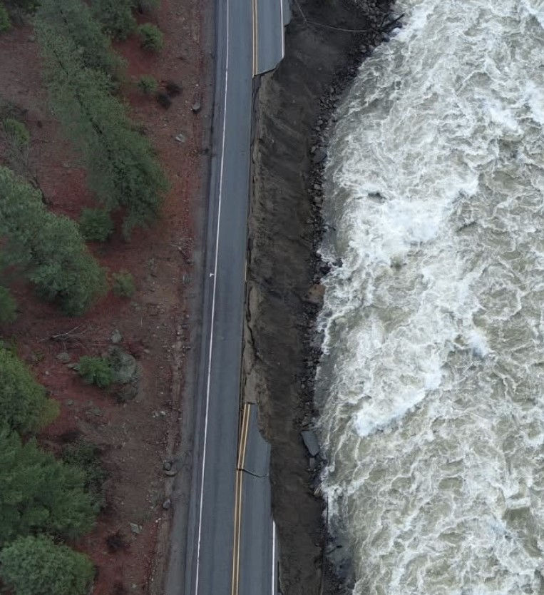
The National Weather Service has forecast a powerful storm moving across the Pacific Northwest. Low elevation rain and mountain snow will combine with high wind of 50-70 mph.
Chelan PUD reported 6,841 Wenatchee area customers without power early Wednesday morning. 22 without electrical service in Stehekin.
The National Weather Service forecast station in Manson predicts a 20% chance of rain with the snow level at 1,600 feet, rising to 2,100 feet Wednesday afternoon.
Heavy rain likely over portions of the Pacific Northwest beginning
Thursday.
Rounds of heavy snow in the higher terrain of the Cascades are expected Wednesday. Snow levels fall to as low as 3,000 ft.
Another round of heavy snowfall is expected to arrive Thursday morning.
Rain at lower elevations of the Pacific Northwest mountain ranges will intensify over the coming days and exacerbate flooding of rivers, creeks and streams through Friday afternoon, at least. Flood warnings are in effect until then.
A strong ridge centered over the east Pacific will support above average
temperatures across much of the West over the next few days.


Comments